Environment
Bunkers Park, as we know it today, started in 1995 when Dacorum Borough Council acquired the land from the Commission for New Towns (later known as English Partnerships). Prior to this, the land had been farmed for many centuries with maps from 1877 showing the field boundaries. The hedgerows along the edges of the park are thought to date back to the 10th century and locally there is evidence of an Iron Age farmstead just to the south west of the Park.
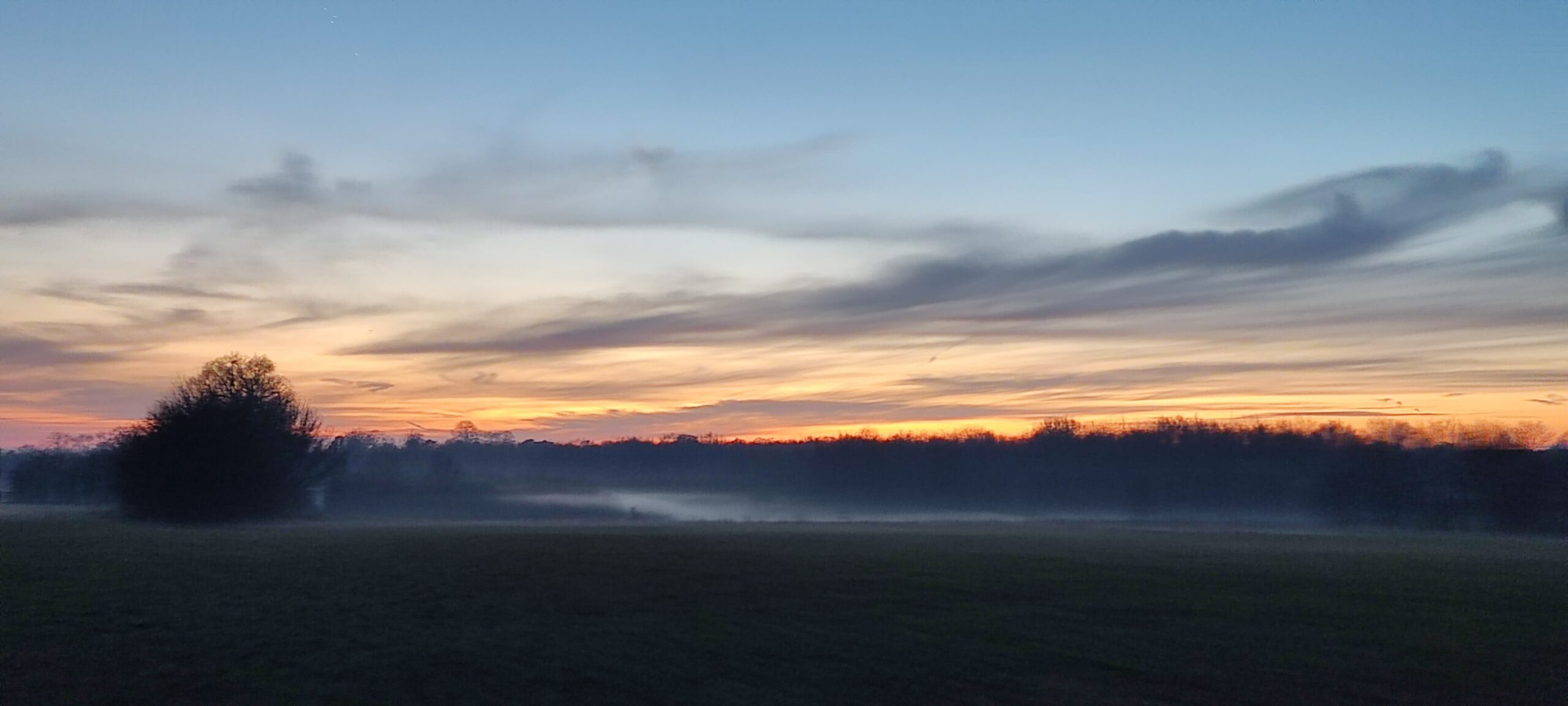
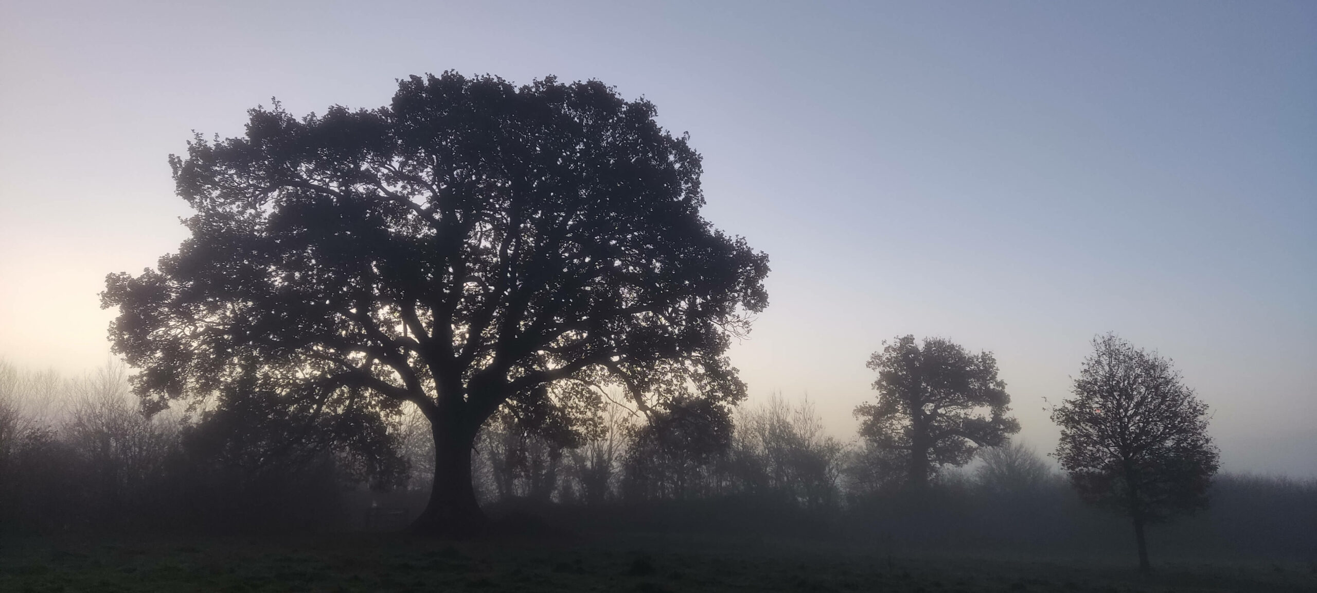
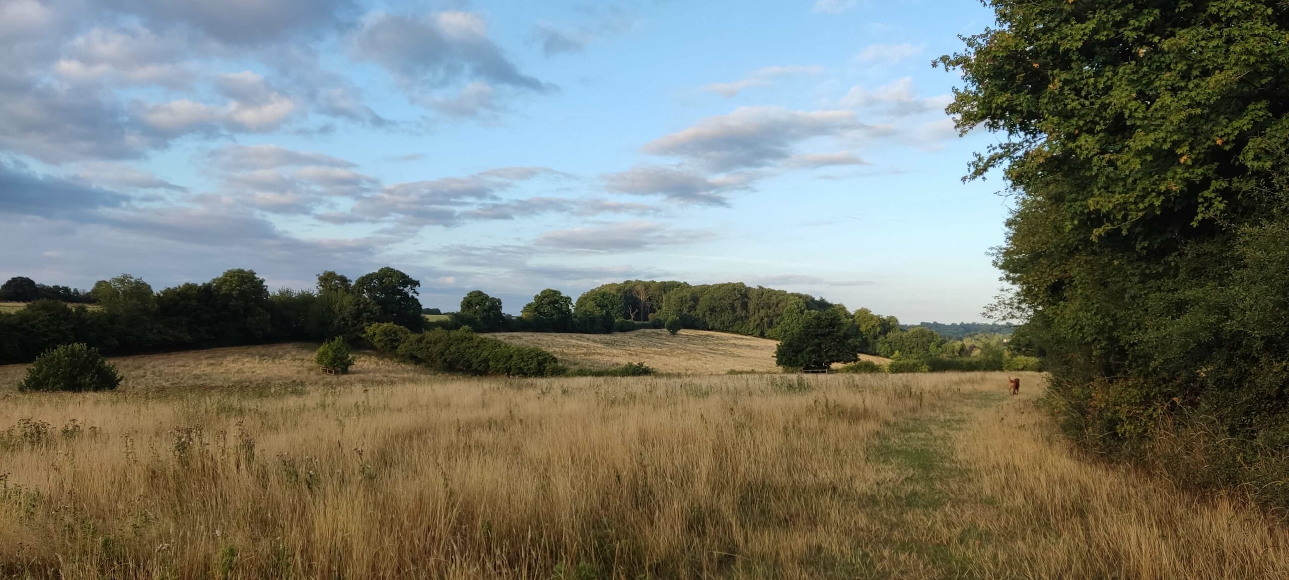
With the land in the possession of the Council, and following work carried out by the Herts and Middlesex Wildlife Trust, plans were put together in 1997 to identify a vision for the future open space. The Management Plan was finalised by the end of that year and in February 1998, with the help of 200 local residents and 600 local school children, Chambersbury Wood was planted in the fields on the northern side of the Park. The planting was so successful that, 12 years later, it became necessary to thin out some of the trees to allow others to develop to their full potential. The Park extends to 123 acres and, together with Long Deans, forms a leisure area and nature reserve to the east of Hemel Hempstead. The land forms a natural boundary to development and is part of the Green Belt surrounding the town.
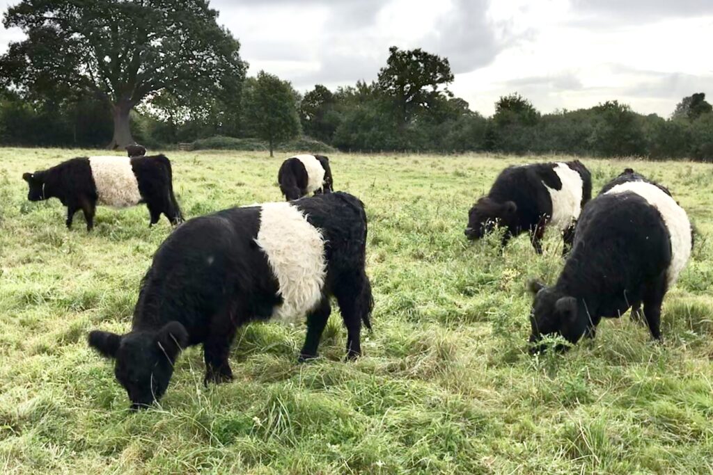
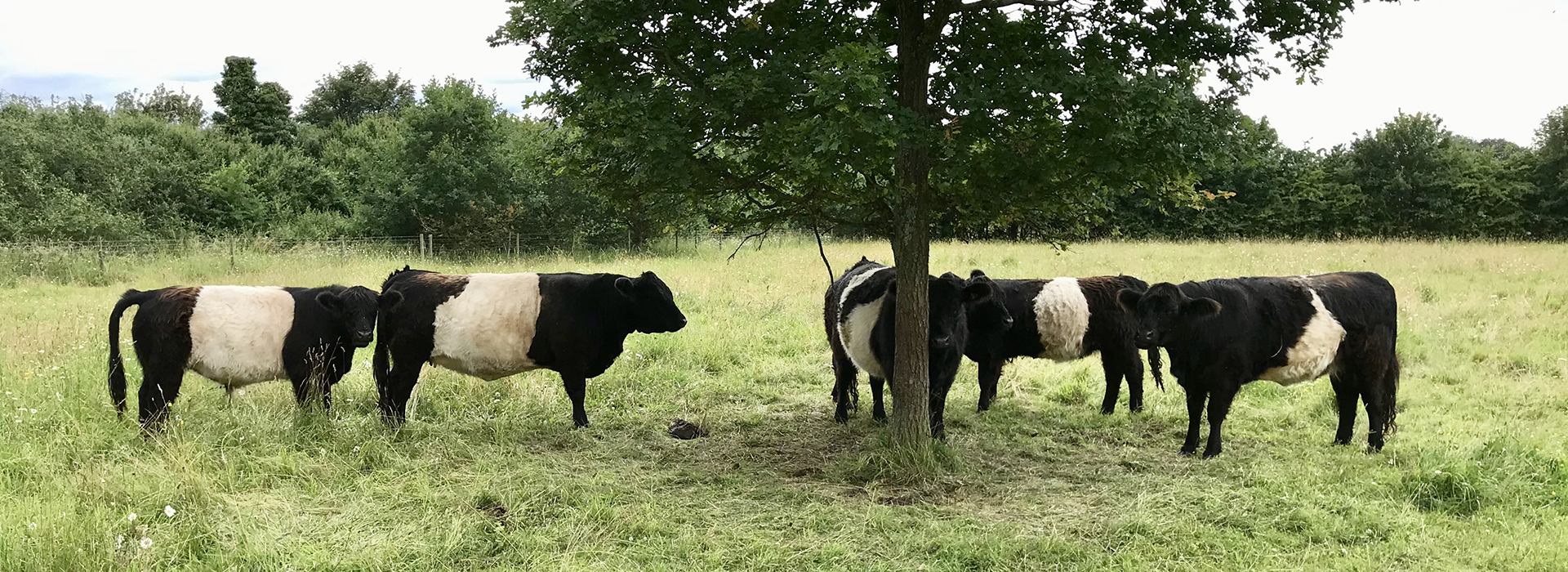
Some of the original field names remain, such as Long Saunders (adjoining Bunkers Lane), Bunkers Common and White Field, which is now known as Bottom Field, while Chambersbury Wood is where Winchdells and Hill Field used to be. Mattens are the fenced pastures in the fields once called Winchdells and Rumballs and are now home during summer months to a small herd of Belted Galloway cows from Box Moor Trust.
2023 – Six heifers and one steer were delivered on 21st April. The cattle were needed elsewhere during August and were removed from Bunkers Park for the time being.
Regular users of Bunkers Park will have noticed several rows of hedging in the lower corner of Top Field near the new gate to Bunkers Lane. The reason for this is that DBC has assumed control of the fields on the other side of Bunkers Lane, marked on the map as Pond Field and Long Saunders which, until recently, have been rented to a local farmer. They now form part of Bunkers Park although the actual layout is yet to be decided. The reason for the hedging is to protect the view as vehicle access to the new extension has to be via the existing Top Field. Bunkers Lane is too narrow for large vehicles and trailers to turn in directly so new, wider gates have been installed on both sides of the lane.
Following an enquiry into the wildlife habitats and ecology of the Chiltern Beechwoods Special Area of Conservation a moratorium was placed on all new residential permissions within a 12.6 km radius of Ashridge (this is approximately the distance from Ashridge House to the Centurion). As a result no new plans will be announced until the implementation of mitigation measures.
During November a resoiution was passed by DBC and, in the long term, this could have a considerable effect on Bunkers Park. The area will be designated as a SANG – Suitable Alternative Natural Greenspace. A Management Plan has been drawn up which envisages improved access, footpaths, signage, etc which will be a huge benefit in the long term. No date has been set for these improvements. Full details can be found at https://democracy.dacorum.gov.uk/documents/s36827/Appendix%20C%20Bunkers%20Park%20SANG%20Management%20Plan%201.pdf.
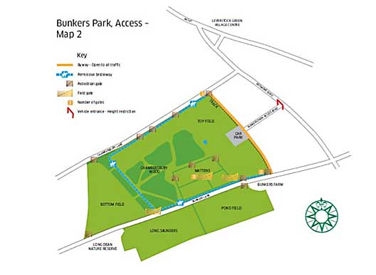
The Map below shows the location of the park with details of its layout, access points and footpaths.
Friends of Bunkers Park is a group of volunteers formed of local residents who help to manage the Park’s growth and generally keep a watchful eye on its development. The Friends are always ready to welcome new volunteers and if you would like to be involved, or would like more information, please call the LGVA Administrator on 01442 268273 or email your contact details to lgvaoffice@gmail.com. Alternatively you can call Nash Mills Parish Clerk on 01462 735553.
The type of work we undertake ranges from hazel coppicing to tree planting, hedge laying or clearance of undergrowth where necessary. All work is supervised by a Woodlands Officer from Dacorum Borough Council and all tools are supplied. Also supplied are tea, coffee and light food including, if we are lucky, home made cake. We usually meet once a month, alternating between Thursdays and Saturdays, and work until around midday but there is absolutely no compulsion to stay to the end.
The 2023/24 session will start on Saturday 16th September, followed by Thursday 19th October, Saturday 18th November, Thursday 14th December, Saturday 20th January, Thursday 15th February, Saturday 16th March, Thursday 18th April, Saturday 18th May, Saturday 15th June.
If you would like to join this sociable group for some light work please be at the car park between 9am and 9.15am where you will be made very welcome. This a great opportunity to help maintain this wonderful amenity, to meet new friends and to take some gentle exercise.